Topography of Myanmar consists of Central Lowlands surrounded by steep, rugged highlands (Fig. 1). The highest point is Mt. Hkakabo Razi (5881 m) in the northernmost part. From here mountain ranges generally trend north-south, with the Patkai Range, the Naga Hills, and the Arakan Mountains to the west along the borders with India and Bangladesh. Mountain ranges also form the eastern border with China, passing southward into the highly dissected Shan Plateau at an average elevation of 900 m. Coastal lowlands and offshore islands margin the Bay of Bengal to the west of Arakan Mountains and the Andaman Sea along Tanintaryi region.
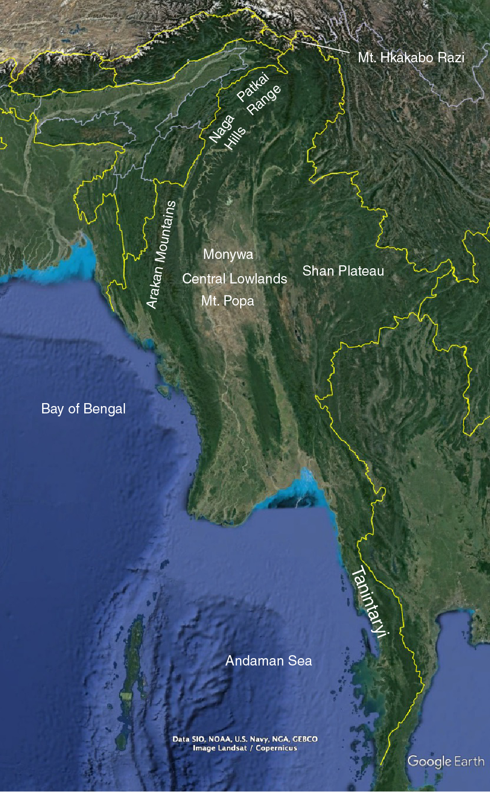
Fig. 1. Topography of Myanmar (from Google Earth).
The Central Lowlands contains a thickness of up to 15 km of dominantly shallow-marine and fluviatile sedimentary rocks (Fig. 1), which are intruded by stratovolcanoes, cinder cones and volcanic plugs with Mt. Popa (Fig. 2) in the south and Monywa in the north.
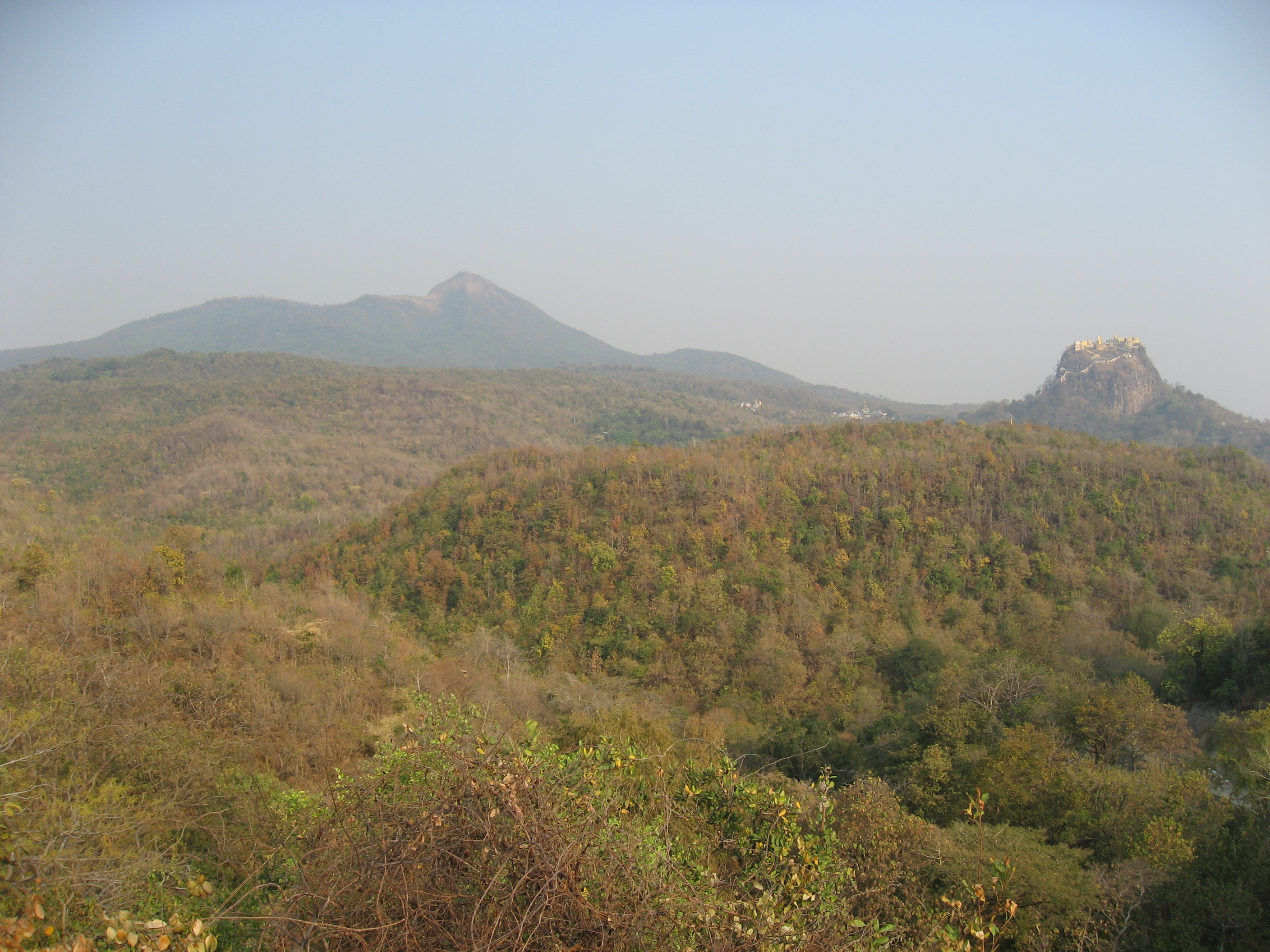
Fig. 2. Mt. Popa in Central Lowlands. Stratovolcano in the left and volcanic plug in the right.